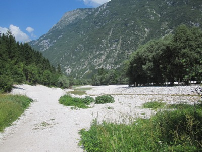
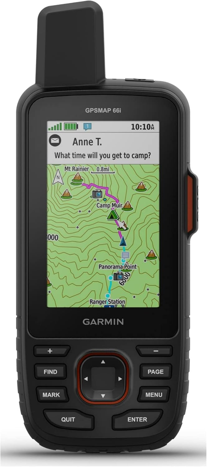
We recommend using a GPS device (Figure 1) or a smartphone (Figure 2) for navigation when walking the Sparkling Trail Brnik–Most na Soči. The Sparkling Trail is marked only where it follows an existing marked route. For example, from Kranjska Gora to Tolmin, the route follows the marked Alpe-Adria Trail.
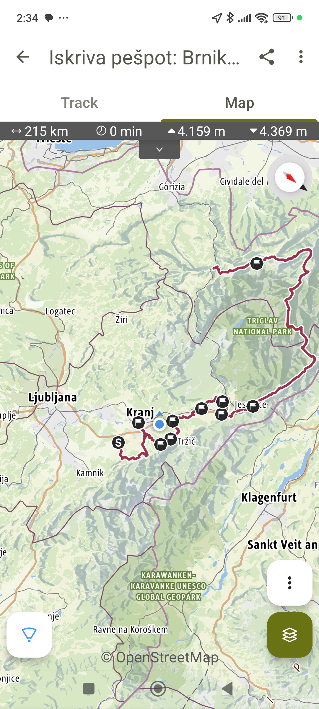
On the first page, where the stages are described, you always have access to the GPX file for each individual stage and for the entire route.